We’ve been successful in applying for an Agriculture Victoria, Partnership Against Pests Grant to establish a weed management strategy for the Upper Lerderderg Catchment. The grant value is $48,800.
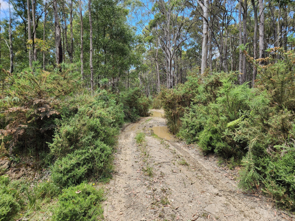
On-ground weed mapping is being undertaken now by GSW Ecological Consulting across key areas of the catchment, reviewing roadsides, tracks, river and stream frontages and town and forest interfaces.
The project will likely be completed by end of 2026.
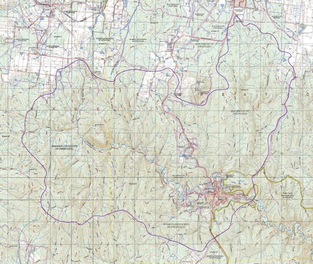
The Catchment

The catchment covers approximately 8000ha and has more than 80kms of river and stream frontage – it includes Blackwood, Barrys Reef, Newbury and extends to the outskirts of Trentham and South Bullarto.
Why weeds matter
The catchment covers the headwaters of the Lerderderg River that flows through Blackwood and becomes a key tributary of the Werribee River – joining it at Bacchus Marsh.
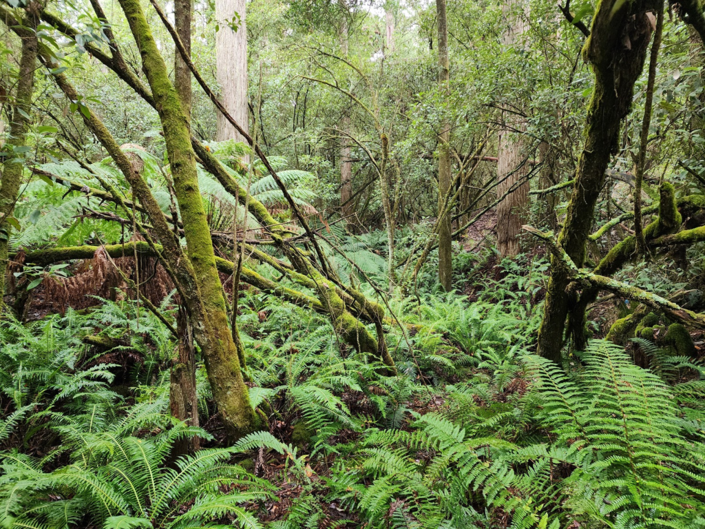
It offers a rich diversity of flora and fauna and will become part of the Wombat-Lerderderg National Park in October 2026.
Introduced species such as blackberry, gorse and English broom are key weeds having an increasing impact across parts of the catchment.
Where weeds become established they are difficult and costly to remove and can significantly impact the health of native flora and fauna by reducing biodiversity and habitat.
Why map weeds?
Mapping weeds in the catchment provides data about:
- weed types present
- their location
- size of the area impacted
- weed density across area impacted.
It is especially useful in identifying infestation patterns and where weeds are just getting established.
This will help establish weed management priorities across the catchment with public land managers.
Our target weeds
Weeds of concern include:
- blackberry
- gorse
- English broom
- Himalayan honeysuckle
- pinus radiata
- Spanish heath
- Scotch/Spear thistle
- holly
- blue periwinkle
- ivy
- Portuguese/cherry laurel.
Our public land managers
Building the strategy
The weed management strategy will be developed by GSW Ecological Consulting in consultation with public land managers, Landcare and local community representatives.
The strategy will consider weed management priorities based on invasiveness risk and impacts on environmental, cultural and social assets.
It will identify what is practically achievable given public land manager resourcing including funding sources, budget cycles and priorities.
The strategy will also help improve coordination of weed management works across land managers and address the impacts of the new Wombat-Lerderderg National Park classification.
Community engagement
Landcare and local community members can engage with the project by:
- learning how to map weeds using iNaturalist. (We’ll be offering a training session in early Spring)
- participating in the community consultation process
- following updates we’ll be providing about the project on Blackwood Community Facebook page and in issues of the Blackwood Times.
Kathy Holowko – local artist with a passion for our unique environment – will be running a series of fun and engaging workshops for families and children with a focus on raising awareness of weeds in our environment through drawing and identification activities including using ‘Seek’ – the child-friendly version of iNaturalist.